Maps, world-views and neutrality: squaring the circle?
Pint of Science 2025 | Dirty Duck, Coventry

Carlos Cámara-Menoyo
Senior Research Software Engineer

Are maps objective?

How are maps made?
1. Geodesy
Is what figuring out where things are and how to record them. Focus is on mathematical foundations (coordinates, Earth’s shape).

This was once a huge scientific enterprise, today this is done by satellite and most of us, even very specialist geographers don’t have to think about it very much.
Keywords: precision, geolocation, GPS, LIDAR, coordinates system…
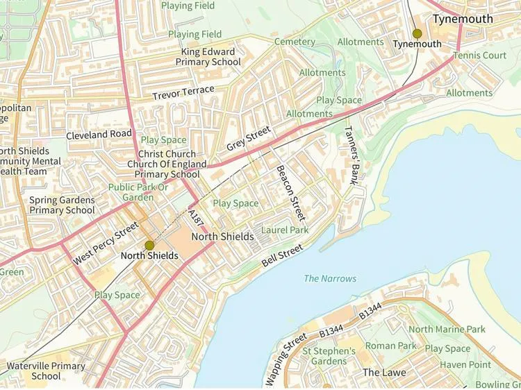
2. Cartogrpahy
Is how we visualize information about things in the world on maps .
_balanced.jpg)
The history of cartography is long and detailed, and the question of what was mapped by whom has dramatically shaped the modern world.
Keywords: projections, shapes, size, colour…
Who makes maps?
Governments
Motivation: public service
Official maps
- Ordnance Survey
- NASA
Companies
 Motivation: Business model.
- Google, Microsoft, Apple…
- ESRI, Carto
- …
Specific, detailed maps, related to their business model.
Individuals!

Motivation: diverse Coverage and precision: diverse
- OpenStreetMap, “the wikipedia of the maps”
- …
Are maps objective?

Each map involves a series of decisions that are anything but objective
Projections

No projection is perfect! Projection is an ‘unsolvable problem’ in that however we do it we are going to end up with some distortion somewhere on our map.
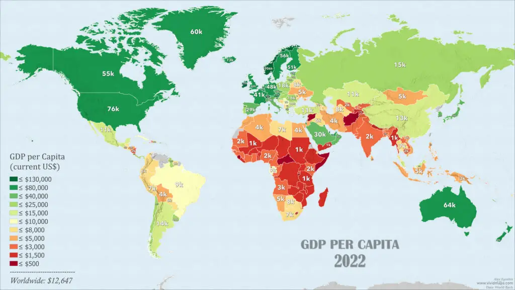
What is included (and what is not!)

![]()


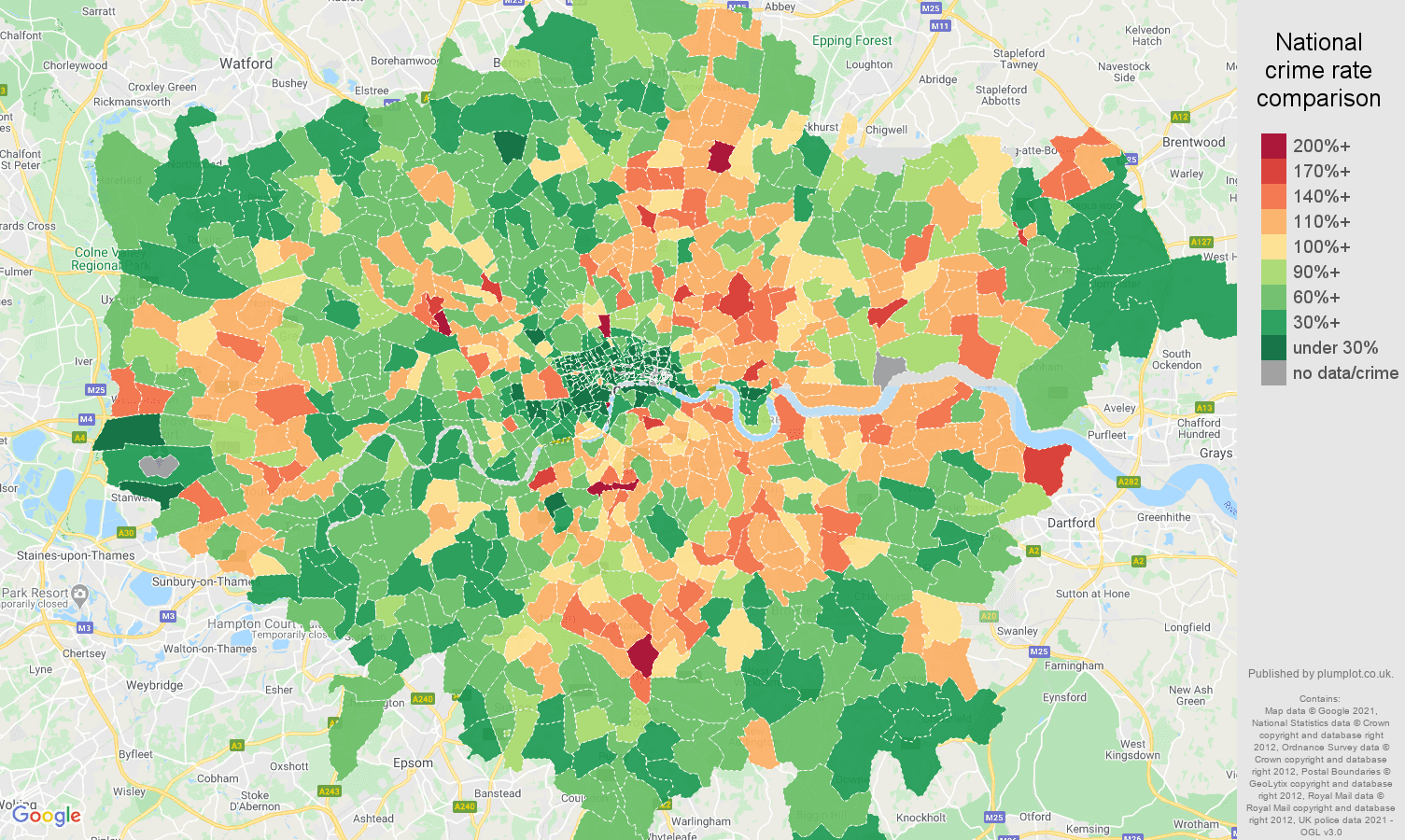
Or take the example of a crime map. Usually expressed in maps like this. Without any context, as it crime simply happens in some places. How would the story change if displayed public investment, too …or worse, ethnicity?
Orientation and alignment


Maps and power
All maps are political and anything but neutral:
- They follow a political agenda
- Prone to (unconcious) bias
Either way, they influence/impact other people’s lifes, especially in less privileged/underrepresented population:
- Origin/Geography
- Gender
- Sexual orientation…
There’s a long history of maps and power

Motivation
We wanted to understand how these decisions around mapping were impacting under-represented communities.
We wanted to study a particular type of digital good: OpenStreetMap, to understand how neutrality is used to favour or hamper equity.

Katherine d’Ignazio and Lauren Klein’s Data feminism design principles
OpenStreetMap (OSM)
OSM is the largest and most exhaustive collaborative map of the world.


How?
Participatory research: teaming with GeoChicas to codesign data visualisations
GeoChicas is a collective of feminist women linked to OpenStreetMap, originally Spanish-speaking, who work for women’s empowerment and the reduction of the gender gap in OpenStreetMap communities and in communities associated with the world of free software and open data.
Data visualisations as a method to:
- think about data (and representation)
- communicate and surface controversies

Understanding community composition


Results are not representative, but significative: show a clear over-representation of certain demographics.
How do users contribute to OSM?

A dashboard showing how groups contribute to OSM
Initial findings show differences in how women contribute to OSM.
Inclusive cartographies
Planning a series of workhops aimed at creating maps that address particular needs of underrepresented minorities using data that is available in OpenStreetMap
Prompts:
Aim: what would you want the map to help you with?
Iconography: how are the icons being used?
Information being displayed or not: what do you want to be seen? How would you like it to be represented?
Audience:
People from non-hegemonic demographics (women, racialized, LGTBQ+) who feel that current maps do not sufficiently address their needs.
Map enthusiasts, Data visualization enthusiasts and OpenStreetMap users with a keen interest in EDI issues.
Activists, Researchers, or people sensitive to EDI issues and inequalities (we will particularly welcome people interested in issues related to gender, race or queer topics).
You are invited!

